

-

- A trail map of Rohlwing Preserve which lies just west of the Myakka River and north of the Blackburn Canal

-

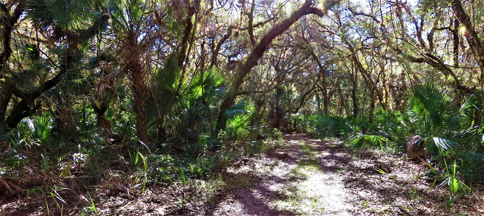
- The predominant habitat type adjacent to the river is a hardwood riparian forest
-

- Away from the river there are some patches of pine flatwoods but with atypical young cabbage palms underneath

-

- The older pines tend to be found on top of earthen mounds of unknown origin

-

- Oak trees in the riparian forest often have lichen lines designating the height of the most recent sustained flood

-

- The Myakka River is a blackwater stream of historically very low nutrient levels

-

- Obligate wetland plants such as this royal fern are found close to the river

-

- A very beautiful forested wetland is found in a shady depression away from the river

-

- This possum haw Ilex decidua is an unusual find near the river

-

- The rockrose is a very beautiful yellow flower with a circle of orange stamens

-

- Myrsine is an understory small tree found in unburned areas

-

- The southern boundary of Rohlwing Preserve is the constructed Blackburn Canal aka Curry Creek that drains river water to an unnatural destination in Roberts Bay instead of Charlotte Harbor

The Rohlwing Preserve (Sleeping Turtles North) may be one of the least visited nature parks in Sarasota County FL in part because it is very close to three other better known parks (Ligon, Carlton and Deer Prairie Creek- north). That is fine with me since it is a quiet place to visit and has an exceptionally interesting set of habitats. The entire eastern edge of the preserve is bordered by the Myakka River which is prone to either drying up or periodic flooding. Thus the predominant habitat at Rohlwing is a type of riparian (riverside) oak forest that is uncommon. You will notice the prevalence of oaks and rarity of pines and palmettos. The older pines that do occur near the river tend to be on mysterious mounds that likely partially protect them from flooding. Away from the river there are some more typical pine flatwoods except that they tend to have an understory of young cabbage palms rather than palmettos. The extent of seasonal floods is recorded in the “lichen lines” – I show a photo here of my wife Margaret standing next to an oak with lichens only above about five feet. Since lichens are killed by short periods of inundation, the height of the lichen line records the depth of water during recent floods. This is an astonishing amount of water and illustrates why early settlers worked to decrease flooding by channelizing water courses and diverting flood waters down structures such as the Blackburn Canal so that they could more easily farm and live in these areas. This has not of course been a good thing for the original ecology of the area but we are fortunate to have this remaining fragment of what old riverside Florida was like.
There is a strip of wetlands along the river that is characterized by plants such as this royal fern that are only found in very wet soils. There are also some forested wetlands away from the river which are deep enough in season to exclude trees and include wetland species that can tolerate shade.
There is one unusual shrub here that I have not seen before anywhere in the area- the possum haw is a type of holly (Ilex decidua) in which only the female plants have fruits. You can see the very abundant reddish fruits which seem designed to attract birds to eat them and distribute them widely. This is a fruit type which is long lasting and may be eaten by birds over many months during the winter. This is a facultative wetland species that is near the southern limit of its range in FL but is widespread in the US ( https://www.fnps.org/plant/ilex-decidua ).
A particularly beautiful small flower I found is a rockrose (Helianthemum) which has 5 yellow petals and a spectacular circle of orange anthers.
A sub-canopy shrub/small tree that is also found in the riparian forest is myrsine or rapanea which is limited to the FL peninsula. It is found only where fire is limited and can be recognized most easily by the fruits along the stem and the greenish growing tips.(if it’s green it is myrsine).
The SE corner of Rohlwing Preserve occurs at the intersection of the Myakka River and the Blackburn Canal/Curry Creek. This canal was built by early developers and farmers to control flooding by diverting water from one watershed ((the Myakka River estuary) to another (Roberts Bay) and to provide water access for small boats. The adverse ecological effect on Charlotte Harbor would be by diminishing the natural occurrence of seasonal floods which are important in regulating populations of estuarine organisms.